A wind lidar installed at Dogger Bank for the Forewind consortium has provided data which shows the technology has advanced to the stage where it could be used in future as an alternative to meteorological masts for wind data collection.
The Dogger Bank projects being developed by the Forewind consortium will have a capacity of 4.8 GW. As part of their assessment process, two meteorological mast platforms were installed in 2013.
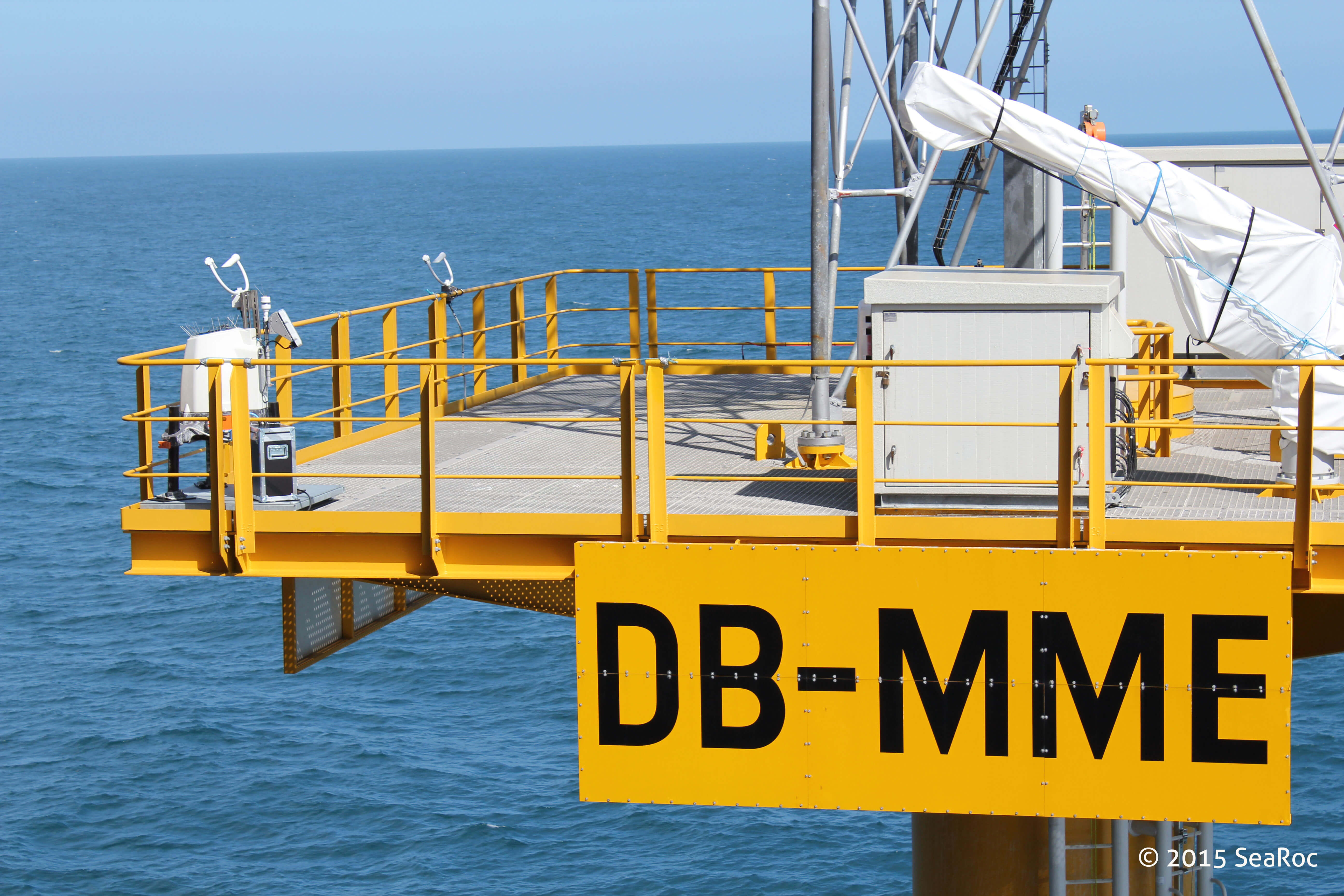
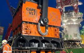
A wind lidar installed at Dogger Bank (left corner on the platform) for the Forewind consortium has provided data which shows the technology has advanced to the stage where it could be used in future as an alternative to meteorological masts for wind data collection.
In November 2014, a ZephIR 300 wind lidar was installed on the east meteorological mast platform by sister company SeaRoc Group to provide continuous data above the existing mast height, while the mast underwent maintenance works. The lidar collected wind speed information for four months to April 2015 and then when the meteorological mast was reinstalled in May 2015 it continued wind speed measurement at the mast’s base.
Results now published confirm the lidar was available for 100% of the time and correlations to the met mast were found to be excellent and at least as good as variations between individual anemoneter cups.
Neil Pittam, SeaRoc’s Geomatic Engineering Manager said: “The ZephIR Lidar poses clear long-term financial and health and safety advantages over traditional anemometry as it requires less personnel to carry out maintenance tasks and vessel time offshore is significantly reduced.”
Nachaat Tahmaz, Forewind Project Manager said that the lidar was installed as it offered the best solution to ensure there was no break in the wind data collection.
“We captured wind data using the lidar which, when compared to that gathered by the met masts, showed a strong correlation and opens up possibilities for future lidar use offshore.”
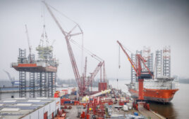
SeaRoc has worked with Forewind since March 2013, managing the complete installation works of both the east mast which is located approximately 81 nautical miles (150 km) from the UK coast, as well as the sister mast to the west.
In March this year, SeaRoc collaborated with its sister company to design the installation of the ZephIR Lidar at what is thought to be the furthest offshore lidar deployment in the world. Due to its remote location an extremely reliable and very low maintenance power and communications solution was required. The ZephIR Lidar has the ability to record data from up to 300-m high from installed location, right down to just 10m.
Ian Locker, Managing Director at ZephIR Lidar commented: “The results at this landmark offshore development confirm the real opportunity for the pragmatic use of wind lidar offshore and its potential to replace fixed met mast structures for wind measurement while delivering significant cost-savings and health and safety advantages. The ZephIR 300 wind lidar allowed for there to be no gap in wind data during the mast maintenance period and has essentially extended the height of the mast significantly. It produced high availability and high accuracy of data, and was perfectly reliable, confirming that it could be used alone for wind data collection at a fraction of the cost. “
SeaRoc has now installed three Z300 lidars offshore: the NaREC metmast, Dogger Bank and the SeaZephIR, a floating platform, installed off the US East coast for a period of nearly 3 years.
Filed Under: News, Offshore wind, Sensors